
Greece trails
Click on a trail to view its statistics, map and profile.
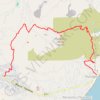
Profitis Ilias de Santorin
Greece > Aegean > Thira Regional Unit > Thira Municipal Unit > Emporio
Distance: 4.8 mi • Elevation gain: 533 m • Maximum elevation: 550 m
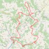
ELATI-ANTHIRO-MONH SPHLIAS-DRAKOTRYPA-ELATI
Greece > Thessaly and Central Greece > Trikala Regional Unit > Ελάτη > Λιπιότα
Distance: 100.0 mi • Elevation gain: 7,500 m • Maximum elevation: 1,749 m
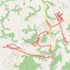
Simeia_03-IOUL-24
Greece > Region of Crete > Chania Regional Unit > Σέμπρωνας
Distance: 14.7 mi • Elevation gain: 830 m • Maximum elevation: 686 m
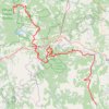
ΕΛΑΤΗ-ΚΑΛΟΜΟΙΡΑ-ΒΑΛΙΑ ΚΑΛΝΤΑ- ΒΟΒΟΥΣΑ
Greece > Thessaly and Central Greece > Trikala Regional Unit > Ελάτη > Λιπιότα
Distance: 114.8 mi • Elevation gain: 6,837 m • Maximum elevation: 1,848 m
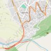
7 Μαρ 2024 11:55:49 π.μ.
Greece > Epirus and Western Macedonia > Ioannina Regional Unit > Κόνιτσα
Distance: 2.6 mi • Elevation gain: 37 m • Maximum elevation: 603 m