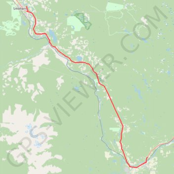
Smithers - Houston
Interactive trail map
Trail profile
- Distance: 40.8 mi
- Elevation gain: 642 m
- Maximum elevation: 842 m
- Elevation loss: 487 m
- Minimum elevation: 471 m
About this trail
Name: Smithers - Houston trail, distance, elevation, map, profile, GPS track
Coordinates: 54.38898 -127.14819 54.78373 -126.63610
Other hiking, mountain biking, running and outdoor activity trails
Click on a trail to view its statistics, map and profile.
Steelhead Park
Canada > British Columbia > Regional District of Bulkley-Nechako > Houston
Distance: 0.4 mi • Elevation gain: 2 m • Maximum elevation: 596 m