Import a GPX file

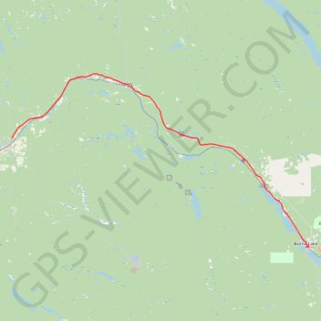
Houston - Burns Lake

#Bike #Houston #Burns

  • Distance: 49.5 mi
  • Elevation gain: 760 m
  • Maximum elevation: 878 m
  • Elevation loss: 686 m
  • Minimum elevation: 600 m

Interactive trail map

Trail profile

  • Distance: 49.5 mi
  • Elevation gain: 760 m
  • Maximum elevation: 878 m
  • Elevation loss: 686 m
  • Minimum elevation: 600 m

About this trail

Other hiking, mountain biking, running and outdoor activity trails

Click on a trail to view its statistics, map and profile.

Smithers - Houston

Canada > British Columbia > Regional District of Bulkley-Nechako > Smithers

#Bike #Smithers #Houston

Distance: 40.8 mi • Elevation gain: 642 m • Maximum elevation: 842 m

Gear up for your next adventure:

Camping Shelters - Emergency and lightweight shelters for outdoor use
🧷Tenacious Repair Tape - Instant fix for torn tents, jackets, or dry bags
🥤Hydration Bladders - Hands-free hydration systems for backpacks
🧭Professional Hiking Compasses - High-precision liquid-filled compasses for map reading and orientation
🦶Anti-Blister Balms - Protect your feet before long topographic expeditions

As an Amazon Associate, this site earns from qualifying purchases at no extra cost to you.