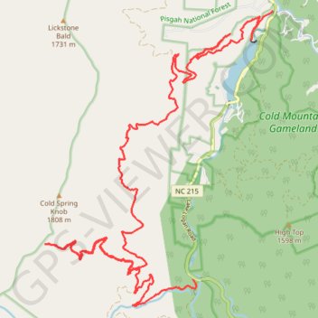
Cold Mountain forest service roads
- Distance: 18.2 mi
- Elevation gain: 1,464 m
- Maximum elevation: 1,692 m
- Elevation loss: 1,377 m
- Minimum elevation: 877 m
- Moving time: 4 h 27 m
- Moving speed: 4.1 mph
- Maximum speed: 10.2 mph
- Total time: 4 h 37 m
- Global speed: 3.9 mph
Interactive trail map
Trail profile
- Distance: 18.2 mi
- Elevation gain: 1,464 m
- Maximum elevation: 1,692 m
- Elevation loss: 1,377 m
- Minimum elevation: 877 m
- Moving time: 4 h 27 m
- Moving speed: 4.1 mph
- Maximum speed: 10.2 mph
- Total time: 4 h 37 m
- Global speed: 3.9 mph
About this trail
Name: Cold Mountain forest service roads trail, distance, elevation, map, profile, GPS track
Start: Lake Logan Road, Haywood County, North Carolina, United States (35.42738 -82.91998)
Coordinates: 35.36809 -82.97626 35.42738 -82.91998