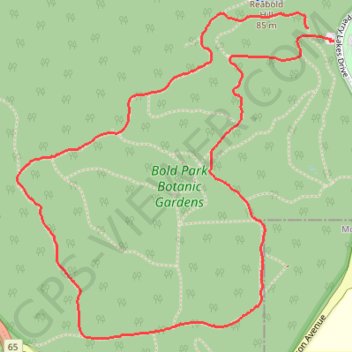
Bold Park - Zamia Track
Interactive trail map
Trail profile
- Distance: 3.5 mi
- Elevation gain: 119 m
- Maximum elevation: 76 m
- Elevation loss: 124 m
- Minimum elevation: 17 m
- Moving time: 1 h 9 m
- Moving speed: 3.0 mph
- Maximum speed: 4.9 mph
- Total time: 1 h 10 m
- Global speed: 3.0 mph
About this trail
Name: Bold Park - Zamia Track trail, distance, elevation, map, profile, GPS track
Start: Tuart Walk, City Beach, Town of Cambridge, Western Australia, 6015, Australia (-31.94187 115.77801)
Coordinates: -31.95469 115.76388 -31.94125 115.77929
Other hiking, mountain biking, running and outdoor activity trails
Click on a trail to view its statistics, map and profile.
2021 Toodyay return via Kep
Distance: 142.9 mi • Elevation gain: 1,859 m • Maximum elevation: 357 m