Thank you for supporting this site ❤️
Make a donation
Make a donation
Gear up for your next adventure:
As an Amazon Associate, this site earns from qualifying purchases at no extra cost to you.
Zamia Trail
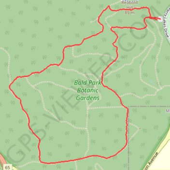
Interactive trail map
Thank you for supporting this site ❤️
Make a donation
Make a donation
Gear up for your next adventure:
As an Amazon Associate, this site earns from qualifying purchases at no extra cost to you.
Trail profile
- Distance: 3.6 mi
- Elevation gain: 120 m
- Maximum elevation: 76 m
- Elevation loss: 120 m
- Minimum elevation: 17 m
- Moving time: 1 h 9 m
- Moving speed: 3.1 mph
- Maximum speed: 5.8 mph
- Total time: 1 h 9 m
- Global speed: 3.1 mph
Thank you for supporting this site ❤️
Make a donation
Make a donation
Gear up for your next adventure:
As an Amazon Associate, this site earns from qualifying purchases at no extra cost to you.
About this trail
Name: Zamia Trail trail, distance, elevation, map, profile, GPS track
Coordinates: -31.95470 115.76387 -31.94123 115.77911
Thank you for supporting this site ❤️
Make a donation
Make a donation
Gear up for your next adventure:
As an Amazon Associate, this site earns from qualifying purchases at no extra cost to you.
Other hiking, mountain biking, running and outdoor activity trails
Click on a trail to view its statistics, map and profile.
2021 Toodyay return via Kep
Distance: 142.9 mi • Elevation gain: 1,859 m • Maximum elevation: 357 m