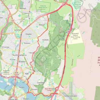
Majura Mountain Loop
Interactive trail map
Trail profile
- Distance: 18.1 mi
- Elevation gain: 252 m
- Maximum elevation: 687 m
- Elevation loss: 252 m
- Minimum elevation: 555 m
About this trail
Name: Majura Mountain Loop trail, distance, elevation, map, profile, GPS track
Coordinates: -35.30471 149.14146 -35.21422 149.19664
Other hiking, mountain biking, running and outdoor activity trails
Click on a trail to view its statistics, map and profile.
Cloudride24.FINAL
Distance: 639.3 mi • Elevation gain: 21,282 m • Maximum elevation: 1,754 m