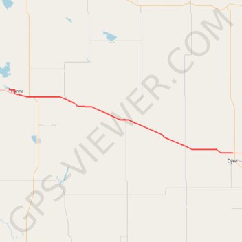
Hanna - Oyen
Interactive trail map
Trail profile
- Distance: 70.1 mi
- Elevation gain: 222 m
- Maximum elevation: 825 m
- Elevation loss: 268 m
- Minimum elevation: 762 m
About this trail
Name: Hanna - Oyen trail, distance, elevation, map, profile, GPS track
Start: Township Road 312, Special Area No. 2, Alberta, Canada (51.65202 -111.97972)
End: Highway 9, Special Area No. 3, Alberta, T0J 2J0, Canada (51.38707 -110.48271)
Coordinates: 51.38706 -111.97972 51.65202 -110.48271
Other hiking, mountain biking, running and outdoor activity trails
Click on a trail to view its statistics, map and profile.
Drumheller - Hanna
Canada > Alberta > Drumheller > Drumheller
#Bike #Drumheller #Hanna
Distance: 48.9 mi • Elevation gain: 439 m • Maximum elevation: 914 m
Oyen - Kindersley
Canada > Alberta > Special Area No. 3
#Bike #Oyen #Kindersley
Distance: 60.8 mi • Elevation gain: 314 m • Maximum elevation: 773 m