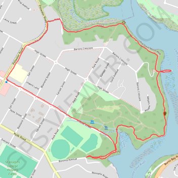
Hunters Hill - Boronia Park - Lane Cove River
Interactive trail map
Trail profile
- Distance: 2.7 mi
- Elevation gain: 118 m
- Maximum elevation: 49 m
- Elevation loss: 118 m
- Minimum elevation: 2 m
- Moving time: 30 m 56 s
- Moving speed: 5.3 mph
- Maximum speed: 13.1 mph
- Total time: 30 m 56 s
- Global speed: 5.3 mph
About this trail
Name: Hunters Hill - Boronia Park - Lane Cove River trail, distance, elevation, map, profile, GPS track
Coordinates: -33.82701 151.13463 -33.81792 151.14752
Other hiking, mountain biking, running and outdoor activity trails
Click on a trail to view its statistics, map and profile.
Sydney Loop Ride via Homebush Bay, Powells Creek, Hudson Park, Cooks River Cycleway, Cooks to Cove Greenway, Hawthorne Canal and Iron Cove
Australia > New South Wales > Sydney
Distance: 33.9 mi • Elevation gain: 343 m • Maximum elevation: 34 m