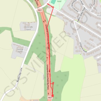
RE SK350770
- Distance: 0.9 mi
- Elevation gain: 14 m
- Maximum elevation: 197 m
- Elevation loss: 23 m
- Minimum elevation: 173 m
- Moving time: 23 m 31 s
- Moving speed: 2.3 mph
- Maximum speed: 3.3 mph
- Total time: 1 h 20 m
- Global speed: 0.7 mph
Interactive trail map
Trail profile
- Distance: 0.9 mi
- Elevation gain: 14 m
- Maximum elevation: 197 m
- Elevation loss: 23 m
- Minimum elevation: 173 m
- Moving time: 23 m 31 s
- Moving speed: 2.3 mph
- Maximum speed: 3.3 mph
- Total time: 1 h 20 m
- Global speed: 0.7 mph
About this trail
Name: RE SK350770 trail, distance, elevation, map, profile, GPS track
Coordinates: 53.28874 -1.47560 53.29474 -1.47486
Topography: North East Derbyshire topographic map, elevation, terrain
Other hiking, mountain biking, running and outdoor activity trails
Click on a trail to view its statistics, map and profile.
RE SK350770 3
United Kingdom > England > Derbyshire > North East Derbyshire > Dronfield > Unstone Green
Distance: 6.0 mi • Elevation gain: 95 m • Maximum elevation: 195 m