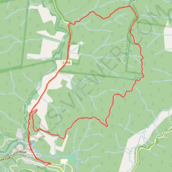
Ridge Road Loch Valley Loop
- Distance: 8.7 mi
- Elevation gain: 408 m
- Maximum elevation: 545 m
- Elevation loss: 420 m
- Minimum elevation: 220 m
- Moving time: 48 m 53 s
- Moving speed: 10.6 mph
- Maximum speed: 22.7 mph
- Total time: 48 m 53 s
- Global speed: 10.6 mph
Interactive trail map
Trail profile
- Distance: 8.7 mi
- Elevation gain: 408 m
- Maximum elevation: 545 m
- Elevation loss: 420 m
- Minimum elevation: 220 m
- Moving time: 48 m 53 s
- Moving speed: 10.6 mph
- Maximum speed: 22.7 mph
- Total time: 48 m 53 s
- Global speed: 10.6 mph
About this trail
Name: Ridge Road Loch Valley Loop trail, distance, elevation, map, profile, GPS track
End: Noojee Rail Trail, Noojee, Shire of Baw Baw, Victoria, 3833, Australia (-37.89558 146.00461)
Coordinates: -37.89596 145.99847 -37.86232 146.02947
Other hiking, mountain biking, running and outdoor activity trails
Click on a trail to view its statistics, map and profile.
Noojee - Vesper - Neerim East - Noojee
Loop, MTB, Gravel
Distance: 31.1 mi • Elevation gain: 1,330 m • Maximum elevation: 559 m