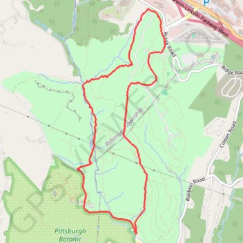
Settlers Cabin Park Loop
- Distance: 5.0 mi
- Elevation gain: 172 m
- Maximum elevation: 378 m
- Elevation loss: 174 m
- Minimum elevation: 278 m
- Moving time: 1 h 33 m
- Moving speed: 3.2 mph
- Maximum speed: 6.3 mph
- Total time: 1 h 33 m
- Global speed: 3.2 mph
Interactive trail map
Trail profile
- Distance: 5.0 mi
- Elevation gain: 172 m
- Maximum elevation: 378 m
- Elevation loss: 174 m
- Minimum elevation: 278 m
- Moving time: 1 h 33 m
- Moving speed: 3.2 mph
- Maximum speed: 6.3 mph
- Total time: 1 h 33 m
- Global speed: 3.2 mph
About this trail
Name: Settlers Cabin Park Loop trail, distance, elevation, map, profile, GPS track
Coordinates: 40.41341 -80.17082 40.43938 -80.15748