Mount Tzouhalem
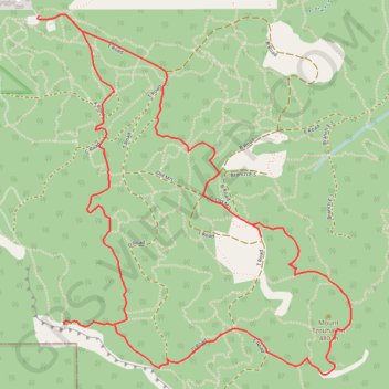
Interactive trail map
Trail profile
- Distance: 4.6 mi
- Elevation gain: 343 m
- Maximum elevation: 469 m
- Elevation loss: 340 m
- Minimum elevation: 253 m
About this trail
Name: Mount Tzouhalem trail, distance, elevation, map, profile, GPS track
Coordinates: 48.77591 -123.63259 48.79152 -123.61194
Other hiking, mountain biking, running and outdoor activity trails
Click on a trail to view its statistics, map and profile.
Robertson River Falls dual sport ride (not BBF)
Canada > British Columbia > Cowichan Valley Regional District > Area B (Shawnigan Lake)
Full day dual sport loop, from Shawnigan to Robertson River Falls and back. Not BBF due to gates and Hillclimb.
Distance: 127.2 mi • Elevation gain: 5,260 m • Maximum elevation: 785 m
BBF loop to the Skydeck in Nanaimo
Canada > British Columbia > Cowichan Valley Regional District > Area A (Mill Bay / Malahat) > Mill Bay
BBF loop to the Skydeck
Distance: 201.0 mi • Elevation gain: 6,222 m • Maximum elevation: 706 m