Dakota 576 Crash Site
Interactive trail map
Trail profile
- Distance: 2.5 mi
- Elevation gain: 134 m
- Maximum elevation: 91 m
- Elevation loss: 134 m
- Minimum elevation: 8 m
About this trail
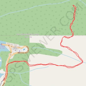
Name: Dakota 576 Crash Site trail, distance, elevation, map, profile, GPS track
Coordinates: 50.72198 -127.45659 50.72938 -127.44428
Other hiking, mountain biking, running and outdoor activity trails
Click on a trail to view its statistics, map and profile.