Fermoy River Walk
- Distance: 2.0 mi
- Elevation gain: 20 m
- Maximum elevation: 58 m
- Elevation loss: 47 m
- Minimum elevation: 23 m
- Moving time: 41 m 40 s
- Moving speed: 2.8 mph
- Maximum speed: 6.6 mph
- Total time: 47 m 9 s
- Global speed: 2.5 mph
Interactive trail map
Trail profile
- Distance: 2.0 mi
- Elevation gain: 20 m
- Maximum elevation: 58 m
- Elevation loss: 47 m
- Minimum elevation: 23 m
- Moving time: 41 m 40 s
- Moving speed: 2.8 mph
- Maximum speed: 6.6 mph
- Total time: 47 m 9 s
- Global speed: 2.5 mph
About this trail
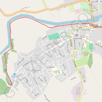
Name: Fermoy River Walk trail, distance, elevation, map, profile, GPS track
Coordinates: 52.12832 -8.29918 52.13947 -8.27395
Other hiking, mountain biking, running and outdoor activity trails
Click on a trail to view its statistics, map and profile.
Thurles - Cork
Ireland > County Tipperary > Thurles
#Bike
Distance: 80.6 mi • Elevation gain: 1,137 m • Maximum elevation: 237 m