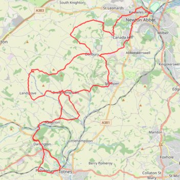
From Knowles Hill to Follaton
Ebike ride
- Distance: 34.6 mi
- Elevation gain: 1,011 m
- Maximum elevation: 123 m
- Elevation loss: 1,012 m
- Minimum elevation: 2 m
- Moving time: 2 h 58 m
- Moving speed: 11.7 mph
- Maximum speed: 28.6 mph
- Total time: 4 h 30 m
- Global speed: 7.7 mph
Interactive trail map
Trail profile
- Distance: 34.6 mi
- Elevation gain: 1,011 m
- Maximum elevation: 123 m
- Elevation loss: 1,012 m
- Minimum elevation: 2 m
- Moving time: 2 h 58 m
- Moving speed: 11.7 mph
- Maximum speed: 28.6 mph
- Total time: 4 h 30 m
- Global speed: 7.7 mph
About this trail
Name: From Knowles Hill to Follaton trail, distance, elevation, map, profile, GPS track
Coordinates: 50.43116 -3.72453 50.53782 -3.59990
Topography: South Hams topographic map, elevation, terrain