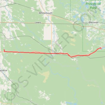
Richer - Whiteshell
#Bike #Richer #Whiteshell
- Distance: 55.0 mi
- Elevation gain: 126 m
- Maximum elevation: 340 m
- Elevation loss: 82 m
- Minimum elevation: 285 m
Interactive trail map
Trail profile
- Distance: 55.0 mi
- Elevation gain: 126 m
- Maximum elevation: 340 m
- Elevation loss: 82 m
- Minimum elevation: 285 m
About this trail
Name: Richer - Whiteshell trail, distance, elevation, map, profile, GPS track
Coordinates: 49.62152 -96.46173 49.69069 -95.32542
Other hiking, mountain biking, running and outdoor activity trails
Click on a trail to view its statistics, map and profile.
Whiteshell - Kenora
Canada > Unorganized Division No. 1
#Bike #Whiteshell #Kenora
Distance: 43.0 mi • Elevation gain: 577 m • Maximum elevation: 382 m