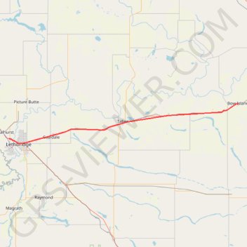
Lethbridge - Bow Island
- Distance: 72.6 mi
- Elevation gain: 273 m
- Maximum elevation: 924 m
- Elevation loss: 301 m
- Minimum elevation: 792 m
Interactive trail map
Trail profile
- Distance: 72.6 mi
- Elevation gain: 273 m
- Maximum elevation: 924 m
- Elevation loss: 301 m
- Minimum elevation: 792 m
About this trail
Name: Lethbridge - Bow Island trail, distance, elevation, map, profile, GPS track
End: Centre Street, Bow Island, Town of Bow Island, Alberta, T0K 0G0, Canada (49.86221 -111.37945)
Coordinates: 49.69609 -112.89368 49.86738 -111.37941
Other hiking, mountain biking, running and outdoor activity trails
Click on a trail to view its statistics, map and profile.
Pincher Creek - Lethbridge
Canada > Alberta > Pincher Creek
#Bike #PincherCreek #Lethbridge
Distance: 63.1 mi • Elevation gain: 228 m • Maximum elevation: 1,146 m
Bow Island - Medicine Hat
Canada > Alberta > Town of Bow Island > Bow Island
Distance: 36.9 mi • Elevation gain: 162 m • Maximum elevation: 834 m