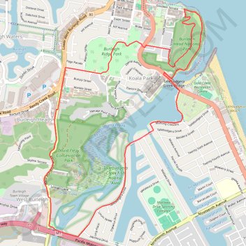
Burleigh Circuit
Interactive trail map
Trail profile
- Distance: 5.9 mi
- Elevation gain: 199 m
- Maximum elevation: 71 m
- Elevation loss: 199 m
- Minimum elevation: -2 m
About this trail
Name: Burleigh Circuit trail, distance, elevation, map, profile, GPS track
Coordinates: -28.11482 153.44077 -28.09023 153.46011
Other hiking, mountain biking, running and outdoor activity trails
Click on a trail to view its statistics, map and profile.
Burleigh Head National Park - Tumgun Lookout
Australia > Queensland > Gold Coast City
Distance: 2.0 mi • Elevation gain: 122 m • Maximum elevation: 71 m
Gold Coast - Coolangatta
Australia > Queensland > Gold Coast City
#Bike
Distance: 18.3 mi • Elevation gain: 196 m • Maximum elevation: 28 m