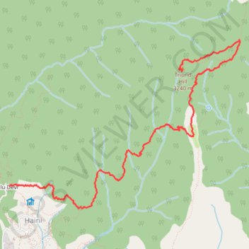
Galu Devi temple - Triund Hill
- Distance: 5.0 mi
- Elevation gain: 1,367 m
- Maximum elevation: 3,234 m
- Elevation loss: 245 m
- Minimum elevation: 2,102 m
Interactive trail map
Trail profile
- Distance: 5.0 mi
- Elevation gain: 1,367 m
- Maximum elevation: 3,234 m
- Elevation loss: 245 m
- Minimum elevation: 2,102 m
About this trail
Name: Galu Devi temple - Triund Hill trail, distance, elevation, map, profile, GPS track
Coordinates: 32.25216 76.32640 32.27384 76.36158
Other hiking, mountain biking, running and outdoor activity trails
Click on a trail to view its statistics, map and profile.