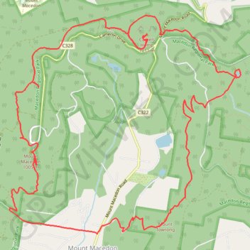
Macedon ranges walking track
- Distance: 12.3 mi
- Elevation gain: 731 m
- Maximum elevation: 990 m
- Elevation loss: 731 m
- Minimum elevation: 584 m
- Moving time: 2 h 40 m
- Moving speed: 4.6 mph
- Maximum speed: 12.8 mph
- Total time: 3 h 24 m
- Global speed: 3.6 mph
Interactive trail map
Trail profile
- Distance: 12.3 mi
- Elevation gain: 731 m
- Maximum elevation: 990 m
- Elevation loss: 731 m
- Minimum elevation: 584 m
- Moving time: 2 h 40 m
- Moving speed: 4.6 mph
- Maximum speed: 12.8 mph
- Total time: 3 h 24 m
- Global speed: 3.6 mph
About this trail
Name: Macedon ranges walking track trail, distance, elevation, map, profile, GPS track
Coordinates: -37.39992 144.57182 -37.36736 144.61509
Other hiking, mountain biking, running and outdoor activity trails
Click on a trail to view its statistics, map and profile.