Train Sandstone Estates
- Distance: 2.7 mi
- Elevation gain: 50 m
- Maximum elevation: 1,665 m
- Elevation loss: 50 m
- Minimum elevation: 1,633 m
- Moving time: 25 m 29 s
- Moving speed: 6.4 mph
- Maximum speed: 9.6 mph
- Total time: 26 m 47 s
- Global speed: 6.1 mph
Interactive trail map
Trail profile
- Distance: 2.7 mi
- Elevation gain: 50 m
- Maximum elevation: 1,665 m
- Elevation loss: 50 m
- Minimum elevation: 1,633 m
- Moving time: 25 m 29 s
- Moving speed: 6.4 mph
- Maximum speed: 9.6 mph
- Total time: 26 m 47 s
- Global speed: 6.1 mph
About this trail
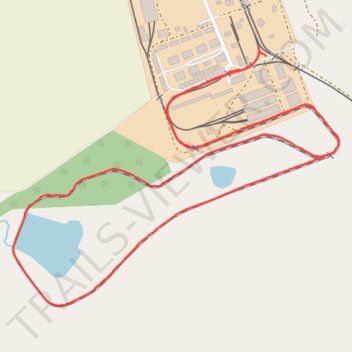
Name: Train Sandstone Estates trail, distance, elevation, map, profile, GPS track
Coordinates: -28.85184 27.99551 -28.84505 28.00526
Other hiking, mountain biking, running and outdoor activity trails
Click on a trail to view its statistics, map and profile.
Sandstone line including new section built in the last few years
South Africa > Free State > Thabo Mofutsanyana District Municipality > Setsoto Local Municipality > Malutizicht
Distance: 11.6 mi • Elevation gain: 162 m • Maximum elevation: 1,691 m