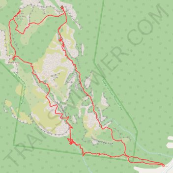
Mount Greville - Up waterfall gorge, summit, down palm gorge
- Distance: 4.4 mi
- Elevation gain: 668 m
- Maximum elevation: 734 m
- Elevation loss: 666 m
- Minimum elevation: 174 m
Interactive trail map
Trail profile
- Distance: 4.4 mi
- Elevation gain: 668 m
- Maximum elevation: 734 m
- Elevation loss: 666 m
- Minimum elevation: 174 m
About this trail
Name: Mount Greville - Up waterfall gorge, summit, down palm gorge trail, distance, elevation, map, profile, GPS track
Coordinates: -28.08638 152.50168 -28.07418 152.51511
Other hiking, mountain biking, running and outdoor activity trails
Click on a trail to view its statistics, map and profile.