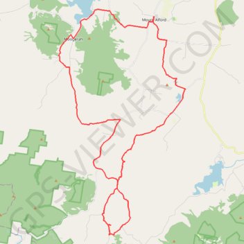
Mount Alford - Carneys Creek
Interactive trail map
Trail profile
- Distance: 39.1 mi
- Elevation gain: 1,123 m
- Maximum elevation: 544 m
- Elevation loss: 1,125 m
- Minimum elevation: 119 m
About this trail
Name: Mount Alford - Carneys Creek trail, distance, elevation, map, profile, GPS track
Coordinates: -28.23406 152.51161 -28.05920 152.62311
Other hiking, mountain biking, running and outdoor activity trails
Click on a trail to view its statistics, map and profile.
Mount Greville - Up waterfall gorge, summit, down palm gorge
Australia > Queensland > Moogerah
Distance: 4.4 mi • Elevation gain: 668 m • Maximum elevation: 734 m