
Rasina Administrative District trails
Click on a trail to view its statistics, map and profile.
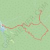
Jastrebac: Planinarski dom - Sokolov kamen - Bela stena - Ži...
Serbia > Central Serbia > Rasina Administrative District > Buci
Distance: 8.2 mi • Elevation gain: 870 m • Maximum elevation: 1,237 m
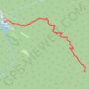
JASTREBAC, MEČJE STENE
Serbia > Central Serbia > Rasina Administrative District > Buci
Distance: 6.4 mi • Elevation gain: 609 m • Maximum elevation: 1,003 m
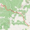
Trasa
Serbia > Central Serbia > Rasina Administrative District > Aleksandrovac Municipality > Ploca
Distance: 7.9 mi • Elevation gain: 834 m • Maximum elevation: 1,769 m
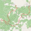
Mitrovo polje_Zeljin_Rogavcina
Serbia > Central Serbia > Rasina Administrative District > Aleksandrovac Municipality > Bzenice > Митрово Поље
Distance: 12.7 mi • Elevation gain: 1,236 m • Maximum elevation: 1,769 m
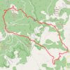
Željin-Rogačka čuka
Serbia > Central Serbia > Rasina Administrative District > Aleksandrovac Municipality > Ploca
Distance: 11.5 mi • Elevation gain: 886 m • Maximum elevation: 1,769 m