
Coffs Harbour trails
Click on a trail to view its statistics, map and profile.
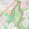
Coffs Creek Walk and Cycleway
Australia > New South Wales > Coffs Harbour
Morning Run
Distance: 4.1 mi • Elevation gain: 36 m • Maximum elevation: 12 m
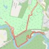
Bongil Bongil National Park
Australia > New South Wales > Coffs Harbour
Distance: 6.9 mi • Elevation gain: 54 m • Maximum elevation: 29 m
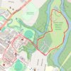
North Coast Regional Botanic Garden loop
Australia > New South Wales > Coffs Harbour
Lunch Run
Distance: 4.0 mi • Elevation gain: 33 m • Maximum elevation: 11 m
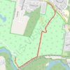
Bongil Picnic Area parkrun
Australia > New South Wales > Coffs Harbour
Distance: 3.1 mi • Elevation gain: 43 m • Maximum elevation: 29 m