Hite Cove
Interactive trail map
Trail profile
- Distance: 7.5 mi
- Elevation gain: 672 m
- Maximum elevation: 522 m
- Elevation loss: 673 m
- Minimum elevation: 433 m
About this trail
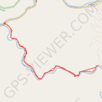
Name: Hite Cove trail, distance, elevation, map, profile, GPS track
Start: Hites Cove 4W-Dr Road, Mariposa County, California, United States (37.65442 -119.88741)
Coordinates: 37.63646 -119.88802 37.65467 -119.84993