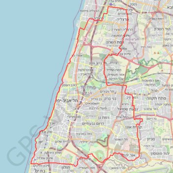
Bat Yam - Herzelia
- Distance: 40.9 mi
- Elevation gain: 443 m
- Maximum elevation: 87 m
- Elevation loss: 444 m
- Minimum elevation: 0 m
Interactive trail map
Trail profile
- Distance: 40.9 mi
- Elevation gain: 443 m
- Maximum elevation: 87 m
- Elevation loss: 444 m
- Minimum elevation: 0 m
About this trail
Name: Bat Yam - Herzelia trail, distance, elevation, map, profile, GPS track
Start: Ganei Tikva, Petah Tikva Subdistrict, Center District, 5542133, Israel (32.06256 34.86693)
End: Ganei Tikva, Petah Tikva Subdistrict, Center District, 5542133, Israel (32.06304 34.86768)
Coordinates: 32.01995 34.73968 32.17819 34.87000