Walk up to Meall nan Caorach
- Distance: 4.4 mi
- Elevation gain: 433 m
- Maximum elevation: 618 m
- Elevation loss: 144 m
- Minimum elevation: 256 m
- Moving time: 1 h 50 m
- Moving speed: 2.4 mph
- Maximum speed: 5.0 mph
- Total time: 3 h 16 m
- Global speed: 1.4 mph
Interactive trail map
Trail profile
- Distance: 4.4 mi
- Elevation gain: 433 m
- Maximum elevation: 618 m
- Elevation loss: 144 m
- Minimum elevation: 256 m
- Moving time: 1 h 50 m
- Moving speed: 2.4 mph
- Maximum speed: 5.0 mph
- Total time: 3 h 16 m
- Global speed: 1.4 mph
About this trail
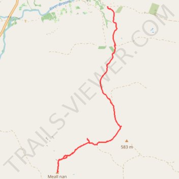
Name: Walk up to Meall nan Caorach trail, distance, elevation, map, profile, GPS track
End: Perth and Kinross, Scotland, United Kingdom (56.48925 -3.73465)
Coordinates: 56.48489 -3.74123 56.52262 -3.71465
Topography: Perth and Kinross topographic map, elevation, terrain