Tzafit and Paras
צפית ופרס: קצר בין שני נחלים יפיופים בצפון הערבה
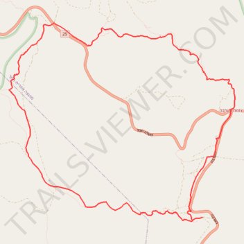
- Distance: 9.8 mi
- Elevation gain: 419 m
- Maximum elevation: 63 m
- Elevation loss: 419 m
- Minimum elevation: -243 m
- Moving time: 4 h 27 m
- Moving speed: 2.2 mph
- Maximum speed: 2.8 mph
- Total time: 4 h 27 m
- Global speed: 2.2 mph
Interactive trail map
Trail profile
- Distance: 9.8 mi
- Elevation gain: 419 m
- Maximum elevation: 63 m
- Elevation loss: 419 m
- Minimum elevation: -243 m
- Moving time: 4 h 27 m
- Moving speed: 2.2 mph
- Maximum speed: 2.8 mph
- Total time: 4 h 27 m
- Global speed: 2.2 mph
About this trail
Name: Tzafit and Paras trail, distance, elevation, map, profile, GPS track
Start: HaArava, Tamar Regional Council, Beersheba Subdistrict, South District, Israel (30.97133 35.30452)
End: HaArava, Tamar Regional Council, Beersheba Subdistrict, South District, Israel (30.97133 35.30452)
Coordinates: 30.97062 35.26564 31.00488 35.31108