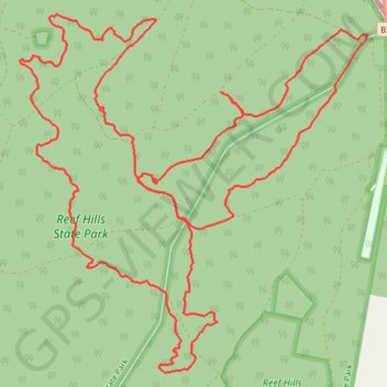
Reef Hills State Park
Mtb ride
- Distance: 12.9 mi
- Elevation gain: 189 m
- Maximum elevation: 230 m
- Elevation loss: 191 m
- Minimum elevation: 182 m
Interactive trail map
Trail profile
- Distance: 12.9 mi
- Elevation gain: 189 m
- Maximum elevation: 230 m
- Elevation loss: 191 m
- Minimum elevation: 182 m
About this trail
Name: Reef Hills State Park trail, distance, elevation, map, profile, GPS track
Start: Tower Road, Benalla, Rural City of Benalla, Victoria, 3672, Australia (-36.60295 145.93892)
End: Reef Hills Road, Benalla, Rural City of Benalla, Victoria, 3672, Australia (-36.60303 145.93931)
Coordinates: -36.61610 145.92161 -36.58561 145.95848