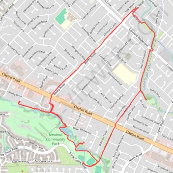
Access from Bailey Rd / Clayton Rd to Newhall Park
- Distance: 4.8 mi
- Elevation gain: 21 m
- Maximum elevation: 79 m
- Elevation loss: 20 m
- Minimum elevation: 63 m
- Moving time: 41 m 48 s
- Moving speed: 6.8 mph
- Maximum speed: 13.9 mph
- Total time: 42 m 37 s
- Global speed: 6.7 mph
Interactive trail map
Trail profile
- Distance: 4.8 mi
- Elevation gain: 21 m
- Maximum elevation: 79 m
- Elevation loss: 20 m
- Minimum elevation: 63 m
- Moving time: 41 m 48 s
- Moving speed: 6.8 mph
- Maximum speed: 13.9 mph
- Total time: 42 m 37 s
- Global speed: 6.7 mph
About this trail
Name: Access from Bailey Rd / Clayton Rd to Newhall Park trail, distance, elevation, map, profile, GPS track
Coordinates: 37.95372 -121.98733 37.97094 -121.96873