Solstice Lake
#Banff #National #Park #Solstice #Lake #Spectral #Peak #Mountain #Rockies #Canada #Hiking #Route
- Distance: 8.2 mi
- Elevation gain: 887 m
- Maximum elevation: 2,227 m
- Elevation loss: 124 m
- Minimum elevation: 1,462 m
- Moving time: 4 h 13 m
- Moving speed: 1.9 mph
- Maximum speed: 7.7 mph
- Total time: 5 h 9 m
- Global speed: 1.6 mph
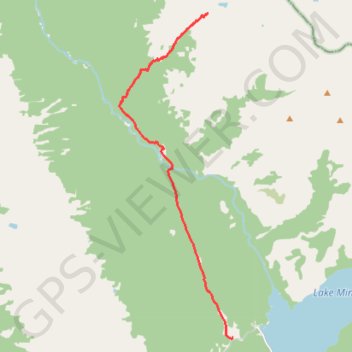
Interactive trail map
Trail profile
- Distance: 8.2 mi
- Elevation gain: 887 m
- Maximum elevation: 2,227 m
- Elevation loss: 124 m
- Minimum elevation: 1,462 m
- Moving time: 4 h 13 m
- Moving speed: 1.9 mph
- Maximum speed: 7.7 mph
- Total time: 5 h 9 m
- Global speed: 1.6 mph
About this trail
Name: Solstice Lake trail, distance, elevation, map, profile, GPS track
Start: Cascade Trail, Improvement District No. 9, Alberta, Canada (51.24458 -115.50928)
End: Improvement District No. 9, Alberta, Canada (51.32630 -115.51923)
Coordinates: 51.24453 -115.55496 51.32630 -115.50928