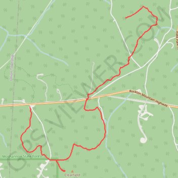
Clearfield County Highpoint - Moshannon State Forest
- Distance: 5.3 mi
- Elevation gain: 105 m
- Maximum elevation: 727 m
- Elevation loss: 119 m
- Minimum elevation: 660 m
- Moving time: 1 h 10 m
- Moving speed: 4.5 mph
- Maximum speed: 10.4 mph
- Total time: 1 h 30 m
- Global speed: 3.5 mph
Interactive trail map
Trail profile
- Distance: 5.3 mi
- Elevation gain: 105 m
- Maximum elevation: 727 m
- Elevation loss: 119 m
- Minimum elevation: 660 m
- Moving time: 1 h 10 m
- Moving speed: 4.5 mph
- Maximum speed: 10.4 mph
- Total time: 1 h 30 m
- Global speed: 3.5 mph
About this trail
Name: Clearfield County Highpoint - Moshannon State Forest trail, distance, elevation, map, profile, GPS track
End: Greenwood Road, Pine Township, Clearfield County, Pennsylvania, United States (41.07627 -78.57824)
Coordinates: 41.06446 -78.58041 41.09481 -78.54711