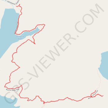
Butcher Jones Trail
- Distance: 2.6 mi
- Elevation gain: 92 m
- Maximum elevation: 529 m
- Elevation loss: 123 m
- Minimum elevation: 464 m
- Moving time: 1 h 3 m
- Moving speed: 2.4 mph
- Maximum speed: 4.5 mph
- Total time: 1 h 15 m
- Global speed: 2.0 mph
Interactive trail map
Trail profile
- Distance: 2.6 mi
- Elevation gain: 92 m
- Maximum elevation: 529 m
- Elevation loss: 123 m
- Minimum elevation: 464 m
- Moving time: 1 h 3 m
- Moving speed: 2.4 mph
- Maximum speed: 4.5 mph
- Total time: 1 h 15 m
- Global speed: 2.0 mph
About this trail
Name: Butcher Jones Trail trail, distance, elevation, map, profile, GPS track
Start: Butcher Jones Trail, Maricopa County, Arizona, United States (33.56624 -111.50417)
End: Butcher Jones Trail, Maricopa County, Arizona, United States (33.57538 -111.51453)
Coordinates: 33.56476 -111.51603 33.57562 -111.50318