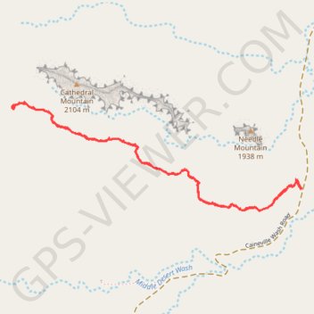
Cathedrals Trail
Hike along the Cathedrals Trail in the Cathedral Valley and the Capitol Reef National Park. #Hiking #Nature #Park
- Distance: 2.5 mi
- Elevation gain: 126 m
- Maximum elevation: 2,049 m
- Elevation loss: 126 m
- Minimum elevation: 1,949 m
- Moving time: 1 h 7 m
- Moving speed: 2.2 mph
- Maximum speed: 2.4 mph
- Total time: 1 h 7 m
- Global speed: 2.2 mph
Interactive trail map
Trail profile
- Distance: 2.5 mi
- Elevation gain: 126 m
- Maximum elevation: 2,049 m
- Elevation loss: 126 m
- Minimum elevation: 1,949 m
- Moving time: 1 h 7 m
- Moving speed: 2.2 mph
- Maximum speed: 2.4 mph
- Total time: 1 h 7 m
- Global speed: 2.2 mph
About this trail
Name: Cathedrals Trail trail, distance, elevation, map, profile, GPS track
Start: Caineville Wash Road, Caineville, Wayne County, Utah, United States (38.48799 -111.35321)
End: Cathedrals Trail, Wayne County, Utah, United States (38.48797 -111.35325)
Coordinates: 38.48694 -111.37030 38.49194 -111.35321