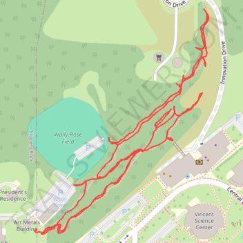
Slippery Rock University Trail
- Distance: 1.4 mi
- Elevation gain: 49 m
- Maximum elevation: 440 m
- Elevation loss: 42 m
- Minimum elevation: 417 m
- Moving time: 34 m 1 s
- Moving speed: 2.5 mph
- Maximum speed: 3.7 mph
- Total time: 35 m 48 s
- Global speed: 2.4 mph
Interactive trail map
Trail profile
- Distance: 1.4 mi
- Elevation gain: 49 m
- Maximum elevation: 440 m
- Elevation loss: 42 m
- Minimum elevation: 417 m
- Moving time: 34 m 1 s
- Moving speed: 2.5 mph
- Maximum speed: 3.7 mph
- Total time: 35 m 48 s
- Global speed: 2.4 mph
About this trail
Name: Slippery Rock University Trail trail, distance, elevation, map, profile, GPS track
Coordinates: 41.06173 -80.04894 41.06538 -80.04518