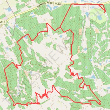
Bottelary Hills Loop
- Distance: 21.5 mi
- Elevation gain: 770 m
- Maximum elevation: 411 m
- Elevation loss: 771 m
- Minimum elevation: 136 m
Interactive trail map
Trail profile
- Distance: 21.5 mi
- Elevation gain: 770 m
- Maximum elevation: 411 m
- Elevation loss: 771 m
- Minimum elevation: 136 m
About this trail
Name: Bottelary Hills Loop trail, distance, elevation, map, profile, GPS track
Coordinates: -33.92736 18.74625 -33.87813 18.80536