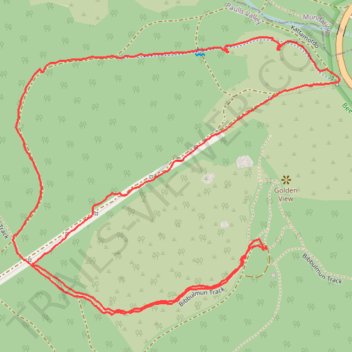
Katamorda trail loop
- Distance: 2.8 mi
- Elevation gain: 165 m
- Maximum elevation: 224 m
- Elevation loss: 164 m
- Minimum elevation: 113 m
- Moving time: 1 h 35 m
- Moving speed: 1.8 mph
- Maximum speed: 7.1 mph
- Total time: 2 h 59 m
- Global speed: 0.9 mph
Interactive trail map
Trail profile
- Distance: 2.8 mi
- Elevation gain: 165 m
- Maximum elevation: 224 m
- Elevation loss: 164 m
- Minimum elevation: 113 m
- Moving time: 1 h 35 m
- Moving speed: 1.8 mph
- Maximum speed: 7.1 mph
- Total time: 2 h 59 m
- Global speed: 0.9 mph
About this trail
Name: Katamorda trail loop trail, distance, elevation, map, profile, GPS track
Coordinates: -31.96335 116.14891 -31.95608 116.15898
Other hiking, mountain biking, running and outdoor activity trails
Click on a trail to view its statistics, map and profile.
2021 Toodyay return via Kep
Distance: 142.9 mi • Elevation gain: 1,859 m • Maximum elevation: 357 m