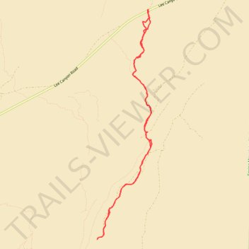
Deer Creek from Lee Canyon Road
- Distance: 6.7 mi
- Elevation gain: 280 m
- Maximum elevation: 1,887 m
- Elevation loss: 280 m
- Minimum elevation: 1,663 m
- Moving time: 2 h 25 m
- Moving speed: 2.8 mph
- Maximum speed: 3.5 mph
- Total time: 2 h 29 m
- Global speed: 2.7 mph
Interactive trail map
Trail profile
- Distance: 6.7 mi
- Elevation gain: 280 m
- Maximum elevation: 1,887 m
- Elevation loss: 280 m
- Minimum elevation: 1,663 m
- Moving time: 2 h 25 m
- Moving speed: 2.8 mph
- Maximum speed: 3.5 mph
- Total time: 2 h 29 m
- Global speed: 2.7 mph
About this trail
Name: Deer Creek from Lee Canyon Road trail, distance, elevation, map, profile, GPS track
Start: Lee Canyon Road, Clark County, Nevada, United States (36.40677 -115.56664)
End: Lee Canyon Road, Clark County, Nevada, United States (36.40685 -115.56660)
Coordinates: 36.36768 -115.57739 36.40685 -115.56579