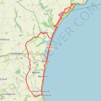
Torcross
- Distance: 18.2 mi
- Elevation gain: 801 m
- Maximum elevation: 138 m
- Elevation loss: 793 m
- Minimum elevation: -2 m
- Moving time: 7 h 32 m
- Moving speed: 2.4 mph
- Maximum speed: 17.9 mph
- Total time: 8 h 26 m
- Global speed: 2.2 mph
Interactive trail map
Trail profile
- Distance: 18.2 mi
- Elevation gain: 801 m
- Maximum elevation: 138 m
- Elevation loss: 793 m
- Minimum elevation: -2 m
- Moving time: 7 h 32 m
- Moving speed: 2.4 mph
- Maximum speed: 17.9 mph
- Total time: 8 h 26 m
- Global speed: 2.2 mph
About this trail
Name: Torcross trail, distance, elevation, map, profile, GPS track
Coordinates: 50.23241 -3.68359 50.32001 -3.61026
Topography: South Hams topographic map, elevation, terrain