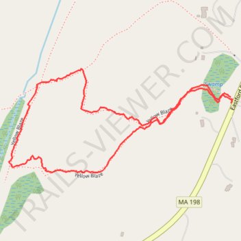
Walked the loop trail at the Thompson Family Forever Wild Preserve
- Distance: 1.3 mi
- Elevation gain: 48 m
- Maximum elevation: 245 m
- Elevation loss: 49 m
- Minimum elevation: 211 m
- Moving time: 47 m 32 s
- Moving speed: 1.7 mph
- Maximum speed: 3.5 mph
- Total time: 55 m 19 s
- Global speed: 1.5 mph
Interactive trail map
Trail profile
- Distance: 1.3 mi
- Elevation gain: 48 m
- Maximum elevation: 245 m
- Elevation loss: 49 m
- Minimum elevation: 211 m
- Moving time: 47 m 32 s
- Moving speed: 1.7 mph
- Maximum speed: 3.5 mph
- Total time: 55 m 19 s
- Global speed: 1.5 mph
About this trail
Name: Walked the loop trail at the Thompson Family Forever Wild Preserve trail, distance, elevation, map, profile, GPS track
Coordinates: 42.04579 -72.06698 42.04873 -72.05850