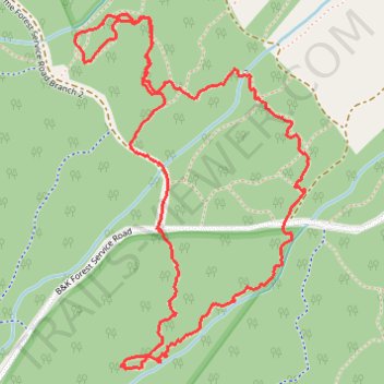
Loop hike on Oxygen Trail and Elphinstone Health Trail
- Distance: 2.6 mi
- Elevation gain: 156 m
- Maximum elevation: 358 m
- Elevation loss: 157 m
- Minimum elevation: 253 m
- Moving time: 1 h 26 m
- Moving speed: 1.8 mph
- Maximum speed: 3.8 mph
- Total time: 1 h 40 m
- Global speed: 1.5 mph
Interactive trail map
Trail profile
- Distance: 2.6 mi
- Elevation gain: 156 m
- Maximum elevation: 358 m
- Elevation loss: 157 m
- Minimum elevation: 253 m
- Moving time: 1 h 26 m
- Moving speed: 1.8 mph
- Maximum speed: 3.8 mph
- Total time: 1 h 40 m
- Global speed: 1.5 mph
About this trail
Name: Loop hike on Oxygen Trail and Elphinstone Health Trail trail, distance, elevation, map, profile, GPS track
Coordinates: 49.43479 -123.61461 49.44397 -123.60530