Water tunnels
- Distance: 2.6 mi
- Elevation gain: 190 m
- Maximum elevation: 386 m
- Elevation loss: 91 m
- Minimum elevation: 261 m
- Moving time: 1 h 57 m
- Moving speed: 1.3 mph
- Maximum speed: 13.7 mph
- Total time: 5 h 33 m
- Global speed: 0.5 mph
Interactive trail map
Trail profile
- Distance: 2.6 mi
- Elevation gain: 190 m
- Maximum elevation: 386 m
- Elevation loss: 91 m
- Minimum elevation: 261 m
- Moving time: 1 h 57 m
- Moving speed: 1.3 mph
- Maximum speed: 13.7 mph
- Total time: 5 h 33 m
- Global speed: 0.5 mph
About this trail
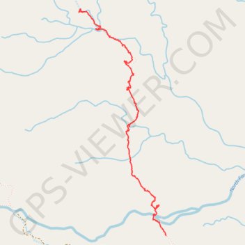
Name: Water tunnels trail, distance, elevation, map, profile, GPS track
Start: Kauaʻi County, Hawaii, United States (22.06040 -159.45306)
End: Kauaʻi County, Hawaii, United States (22.08081 -159.46115)
Coordinates: 22.06040 -159.46162 22.08105 -159.45306