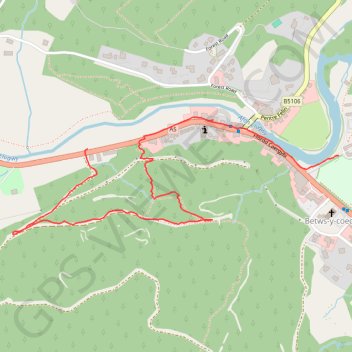
Walk by Betws-y-coed
- Distance: 1.3 mi
- Elevation gain: 105 m
- Maximum elevation: 130 m
- Elevation loss: 98 m
- Minimum elevation: 24 m
- Moving time: 36 m 25 s
- Moving speed: 2.1 mph
- Maximum speed: 4.7 mph
- Total time: 36 m 25 s
- Global speed: 2.1 mph
Interactive trail map
Trail profile
- Distance: 1.3 mi
- Elevation gain: 105 m
- Maximum elevation: 130 m
- Elevation loss: 98 m
- Minimum elevation: 24 m
- Moving time: 36 m 25 s
- Moving speed: 2.1 mph
- Maximum speed: 4.7 mph
- Total time: 36 m 25 s
- Global speed: 2.1 mph
About this trail
Name: Walk by Betws-y-coed trail, distance, elevation, map, profile, GPS track
End: A5, Betws-y-coed, Conwy, Wales, LL24 0BN, United Kingdom (53.09320 -3.81264)
Coordinates: 53.09110 -3.81568 53.09397 -3.80240
Topography: Conwy topographic map, elevation, terrain