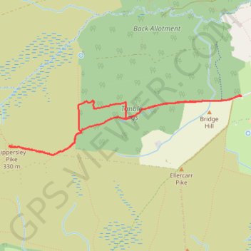
Timble Ings - Lippersley Pike walk
- Distance: 3.3 mi
- Elevation gain: 73 m
- Maximum elevation: 325 m
- Elevation loss: 73 m
- Minimum elevation: 260 m
- Moving time: 1 h 45 m
- Moving speed: 1.9 mph
- Maximum speed: 3.3 mph
- Total time: 2 h 13 m
- Global speed: 1.5 mph
Interactive trail map
Trail profile
- Distance: 3.3 mi
- Elevation gain: 73 m
- Maximum elevation: 325 m
- Elevation loss: 73 m
- Minimum elevation: 260 m
- Moving time: 1 h 45 m
- Moving speed: 1.9 mph
- Maximum speed: 3.3 mph
- Total time: 2 h 13 m
- Global speed: 1.5 mph
About this trail
Name: Timble Ings - Lippersley Pike walk trail, distance, elevation, map, profile, GPS track
Coordinates: 53.96745 -1.78293 53.97250 -1.74941
Topography: North Yorkshire topographic map, elevation, terrain