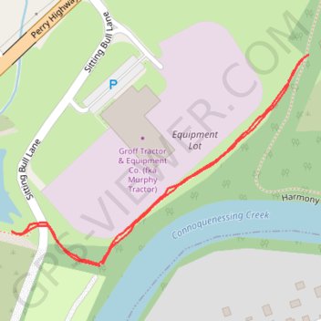
Harmony trail connector
- Distance: 0.6 mi
- Elevation gain: 12 m
- Maximum elevation: 291 m
- Elevation loss: 12 m
- Minimum elevation: 279 m
- Moving time: 11 m 26 s
- Moving speed: 3.0 mph
- Maximum speed: 4.3 mph
- Total time: 11 m 26 s
- Global speed: 3.0 mph
Interactive trail map
Trail profile
- Distance: 0.6 mi
- Elevation gain: 12 m
- Maximum elevation: 291 m
- Elevation loss: 12 m
- Minimum elevation: 279 m
- Moving time: 11 m 26 s
- Moving speed: 3.0 mph
- Maximum speed: 4.3 mph
- Total time: 11 m 26 s
- Global speed: 3.0 mph
About this trail
Name: Harmony trail connector trail, distance, elevation, map, profile, GPS track
Coordinates: 40.80458 -80.13315 40.80673 -80.12915