Import a GPX file

Flinders Ranges National Park

#MTB #Flinders

  • Distance: 60.9 mi
  • Elevation gain: 1,063 m
  • Maximum elevation: 682 m
  • Elevation loss: 1,008 m
  • Minimum elevation: 366 m

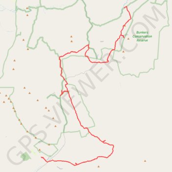
Interactive trail map

Trail profile

  • Distance: 60.9 mi
  • Elevation gain: 1,063 m
  • Maximum elevation: 682 m
  • Elevation loss: 1,008 m
  • Minimum elevation: 366 m

About this trail

Gear up for your next adventure:

🎿Telescopic Trekking Poles - Reduces knee strain on steep topographic descents
📚UK Hiking Guidebooks - Detailed route descriptions for the Lake District, Peaks, and Highlands
Camping Shelters - Emergency and lightweight shelters for outdoor use
📢Survival Whistles - Essential safety gear for signaling for help in mountain fog
📦Compression Sacks - Reduce backpack volume efficiently

As an Amazon Associate, this site earns from qualifying purchases at no extra cost to you.