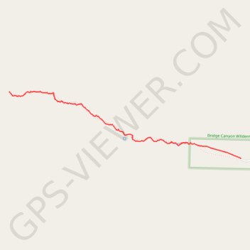
Import a GPX file

Grapevine Canyon

Hike through the Grapevine Canyon in the Bridge Canyon Wilderness. #Hiking #Canyon #Mountain #Nature #Desert #Wilderness

  • Distance: 1.7 mi
  • Elevation gain: 152 m
  • Maximum elevation: 857 m
  • Elevation loss: 21 m
  • Minimum elevation: 724 m

Interactive trail map

Trail profile

  • Distance: 1.7 mi
  • Elevation gain: 152 m
  • Maximum elevation: 857 m
  • Elevation loss: 21 m
  • Minimum elevation: 724 m

About this trail

Name: Grapevine Canyon trail, distance, elevation, map, profile, GPS track

Start: Grapevine Canyon Trail, Clark County, Nevada, United States (35.22589 -114.68186)

End: Grapevine Canyon Trail, Clark County, Nevada, United States (35.23177 -114.70668)

Coordinates: 35.22589 -114.70669 35.23179 -114.68186

Gear up for your next adventure:

👖Convertible Hiking Trousers - Versatile zip-off pants for changing mountain weather conditions
🔋Solar Power Banks - Keep your GPS and phone charged during multi-day expeditions
🧗Locking Carabiners - Secure gear to your pack or for light technical use
🥾Hiking Boots - Waterproof and durable boots for long-distance hiking in the UK
🧭Professional Hiking Compasses - High-precision liquid-filled compasses for map reading and orientation

As an Amazon Associate, this site earns from qualifying purchases at no extra cost to you.