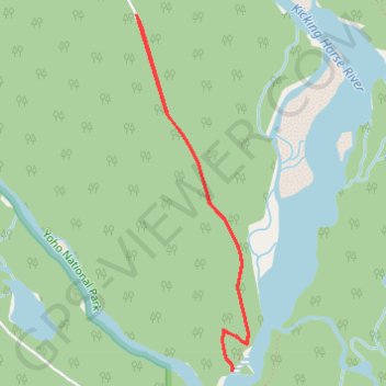
Import a GPX file

Wapta Falls

Yoho National Park. #Hiking #Yoho

  • Distance: 2.9 mi
  • Elevation gain: 126 m
  • Maximum elevation: 1,129 m
  • Elevation loss: 126 m
  • Minimum elevation: 1,058 m

Interactive trail map

Trail profile

  • Distance: 2.9 mi
  • Elevation gain: 126 m
  • Maximum elevation: 1,129 m
  • Elevation loss: 126 m
  • Minimum elevation: 1,058 m

About this trail

Gear up for your next adventure:

🥫Expedition Meals - Lightweight, high-calorie nutrition for long-distance hikers
🔦Keychain LED Torches - Emergency backup light for finding gear in your pack
🥤Hiking Water Bottles - Reusable bottles for hydration on the trail
🖼️Topographic Map Art - Decorative 3D-effect posters of famous UK peaks and regions
🔋Power Banks - Portable chargers for long outdoor trips

As an Amazon Associate, this site earns from qualifying purchases at no extra cost to you.